Buying a beach home should feel exciting, not stressful. If you are looking at North Topsail Beach, flood zones and insurance can raise a lot of questions fast. You want straight answers about risk, loan requirements, and what coverage might cost. In this guide, you will learn how local flood zones work, how to check a property’s map and Elevation Certificate, what CBRS means for loans and NFIP eligibility, and how to compare insurance quotes with confidence. Let’s dive in.
North Topsail Beach flood basics
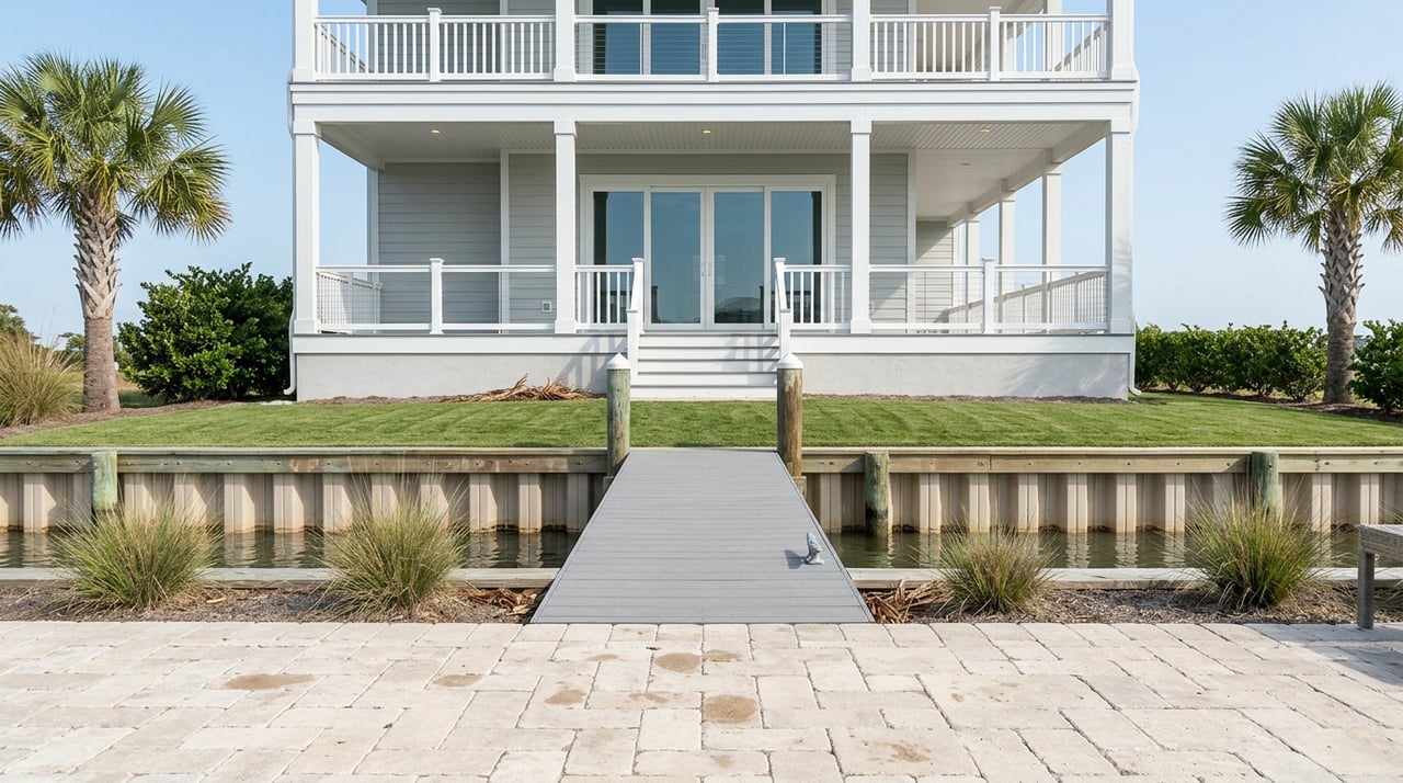
North Topsail Beach is a barrier-island town, so flood awareness is part of smart home shopping. The town shares local flood information and can provide Elevation Certificates on request through the Inspections Department at 910-328-1349. You can start with the town’s page on how to know your flood hazard.
A significant portion of the island lies within a federal Coastal Barrier Resources System unit. If a property is inside a CBRS unit, some federally backed flood insurance and loan programs may not be available. Before you rely on an NFIP policy or a VA loan, check the town’s overview of the Coastal Barrier Resources Act and confirm a parcel’s status.
Onslow County’s flood maps and regulations guide local permits and insurance decisions. The county’s Floodplain Management page lists effective FEMA panels, map changes, and the Floodplain Coordinator contact. Use the county’s resource hub to confirm the current map layer before you drop contingencies: Onslow County Floodplain Management.
What flood zones mean here
FEMA maps show Special Flood Hazard Areas, often called the 1 percent annual chance flood or “100‑year” flood. In coastal areas, high-risk zones are labeled VE or V, and inland of that you may see AE or A. Zone X is lower risk, though not risk free. You can review how these coastal designations work on FEMA’s page about coastal insurance rate maps.
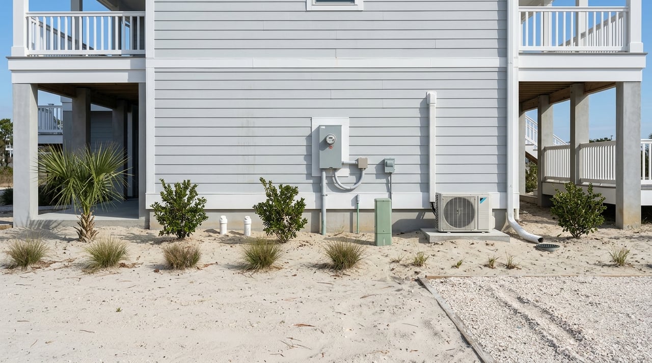
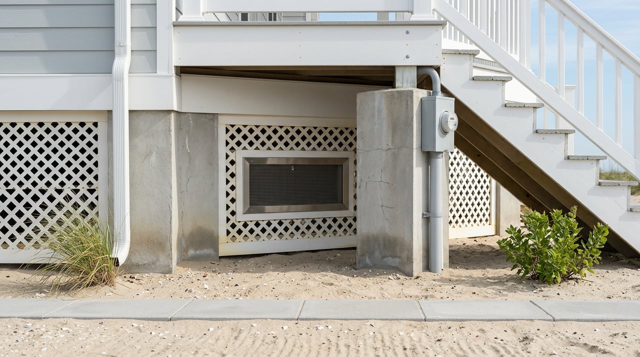
Many coastal panels also show the Limit of Moderate Wave Action, often called the LiMWA or Coastal A line. This marks where moderate wave action is likely during the base flood. Local rules often treat the Coastal A area conservatively, which can affect required foundations. Being in a VE or Coastal A area typically means elevated pile foundations and higher exposure than AE or X.
Quick steps to check any address
Use this workflow before you waive inspections or financing contingencies:
- Search the address at FEMA’s Map Service Center and create a printable FIRMette. Note the panel number and effective date: FEMA Map Service Center.
- Compare the FEMA panel with Onslow County’s resources for local guidance and to see effective layers or updates: Onslow County Floodplain Management.
- If the home is in or near AE, VE, or Coastal A, review the Flood Insurance Study for the area to understand Base Flood Elevations. This explains the elevation used for building and insurance decisions.
- Check for any Letters of Map Change, such as LOMA or LOMR. If one exists, get the letter because lenders and insurers rely on it: FEMA Online LOMC help.
- If a zone boundary runs close to the structure, order a certified survey and an Elevation Certificate from a licensed professional. This is the way to prove first-floor height relative to BFE and can support a LOMA or improved insurance pricing.
Elevation Certificates 101
An Elevation Certificate documents a building’s location, lowest floor elevation, and key features used for NFIP rating and local compliance. Insurers use it to verify first-floor height and mitigation details like flood openings. You can learn the basics and how to request one on FloodSmart’s guide to Elevation Certificates.
Only licensed surveyors, engineers, or architects may certify most ECs. North Topsail Beach and Onslow County often have ECs on file from past permits, so always ask the seller and the local offices before you order a new one. FEMA updated the EC form recently, so confirm your surveyor is using the current edition required by the county.
Under FEMA’s Risk Rating 2.0, the NFIP now prices policies at a property level. FEMA can estimate first-floor height for rating, but a submitted EC can still help reduce a premium by documenting elevation above BFE and mitigation features. Ask your insurance agent to run quotes with and without an EC to see the difference.
Flood insurance options and pricing
Standard NFIP policies for homeowners offer up to $250,000 in building coverage and up to $100,000 for contents, with different limits for commercial buildings. You buy through a local agent, and pricing follows NFIP rules. Review coverage basics on FloodSmart’s page about how to buy a policy.
With Risk Rating 2.0, pricing uses factors like replacement cost, distance to water, foundation type, and first-floor height. Rates can rise for some coastal homes and improve for others. The most reliable way to know your price is to get a quote. For a clear summary of the program shift, see the Congressional overview of Risk Rating 2.0.
Onslow County participates in FEMA’s Community Rating System, which can provide a local discount on NFIP premiums. Private flood insurance is also available and can sometimes offer competitive pricing or higher limits. Compare policy forms and exclusions carefully, then run both NFIP and private quotes. Keep timing in mind because NFIP policies often have a 30‑day waiting period for new coverage.
Buyer and lender questions checklist
Ask the seller or listing agent
- Is the home in a FEMA SFHA like AE or VE, near a LiMWA line, or inside a CBRS unit? Confirm with the town’s CBRA materials: Coastal Barrier Resources Act in North Topsail Beach.
- Is there an Elevation Certificate on file, and can you share it?
- Has FEMA issued a LOMA or LOMR for the parcel or structure? If yes, provide the letter. Use this portal to understand how LOMC works: FEMA Online LOMC help.
Ask your lender or loan officer
- Will this mortgage require flood insurance based on the effective FEMA map? You can verify the current panel here: FEMA Map Service Center.
- If the home is in a CBRS unit, how does that affect VA, FHA, or USDA loan options?
Ask your insurance agent
- Please run an NFIP quote now, then a second quote assuming we submit an EC that shows the first floor above BFE.
- Can a private-market policy match the coverage I want, and how do limits and exclusions compare with NFIP?
- Does the Onslow County CRS discount apply to this address, and how does it affect the premium?
Local offer checklist
- Pull the FIRMette and note the panel and effective date: FEMA Map Service Center.
- Review Onslow County’s page for effective maps, local contacts, and CRS details: Onslow County Floodplain Management.
- Request the seller’s Elevation Certificate, any existing NFIP policy, and any LOMC letters.
- If the parcel appears inside CBRS, confirm NFIP eligibility and loan options using the town’s CBRA overview and your lender’s guidance.
- Get both NFIP and private quotes, and ask for versions with and without a submitted EC. Plan for possible waiting periods as you set closing timelines. Learn NFIP basics here: Buy a policy.
Final thoughts and next steps
You can buy with confidence in North Topsail Beach when you verify the map panel, confirm CBRS status, review the Elevation Certificate, and compare insurance options early. A little homework can protect your budget and keep your closing on track. If you want a local partner to help you navigate FEMA maps, quotes, and contract timelines, reach out to Gwen Hydzik for calm, clear guidance.
FAQs
Do I need flood insurance if I am outside the high-risk zone in North Topsail Beach?
- Many claims occur outside mapped high-risk areas. Pricing can be lower outside the SFHA, so it is worth getting a quote to understand your cost and protection options.
How do CBRS rules affect buying a home in North Topsail Beach?
- If a property is inside a CBRS unit, some federally backed flood insurance and loan programs may not be available. Always confirm parcel status with the town’s CBRA information before you rely on an NFIP policy or a federal loan.
What is the LiMWA and does it change my premium?
- The Limit of Moderate Wave Action marks where moderate waves are likely during the base flood. It is an important design consideration and can influence local building requirements, but NFIP premiums are set by property-level factors under Risk Rating 2.0.
Can a survey alone remove my lender’s flood insurance requirement in North Topsail Beach?
- No. Lenders rely on FEMA maps. To change a mandatory-purchase requirement you need an official FEMA Letter of Map Amendment or Revision, not just a survey.
How long does it take for NFIP flood coverage to start when buying a home?
- NFIP policies often have a 30‑day waiting period for new coverage, with limited exceptions. Start quotes early and plan your closing timeline with that in mind.